How to get there
The toll road runs 48 km between Bruck (Salzburg) and Heiligenblut (Carinthia), climbing to 2,504 m at the Hochtor pass. Both ends are about 90 minutes from Salzburg or Villach.
 Austria
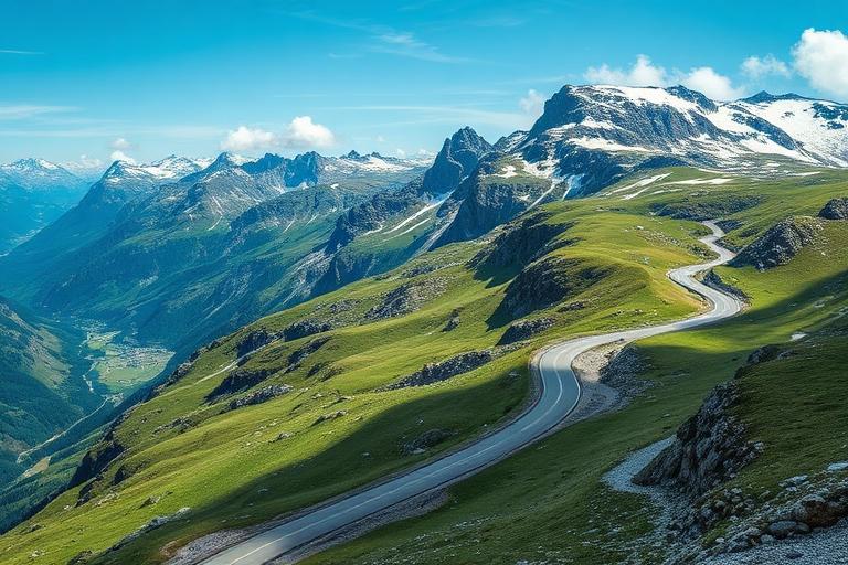
Austria's most spectacular mountain road, winding through the High Tauern to views of the country's highest peak and longest glacier.
Photograph by Anas Morsali, taken during his own trip
The Grossglockner High Alpine Road (Großglockner Hochalpenstraße) is one of Europe's most thrilling and scenic mountain passes, a masterpiece of engineering that winds for 48 kilometres through the heart of the Hohe Tauern National Park — Austria's largest nature reserve. Built between 1930 and 1935, the road climbs to 2,504 metres at its highest point (Hochtor), crossing the main Alpine ridge with 36 hairpin bends that offer ever-changing panoramas of glaciers, alpine meadows, rocky peaks, and deep valleys. The road's crown jewel is the Kaiser-Franz-Josefs-Höhe viewpoint, where visitors stand face-to-face with the Grossglockner (3,798 m), Austria's highest mountain, and gaze upon the Pasterze Glacier — the longest glacier in the Eastern Alps, though sadly retreating rapidly due to climate change. Along the route, several exhibition centres explore alpine ecology, geology, and the history of the road's construction. Marmots can be spotted sunning themselves on rocky outcrops, while golden eagles and bearded vultures soar overhead. The road is typically open from May to October, and is best driven slowly, with frequent stops to absorb the magnitude of the landscape.
Planning the wider trip? The Austria planning guide covers how to get there, how to move around, where to stay, realistic costs and a day-by-day itinerary that includes Grossglockner High Alpine Road.
The toll road runs 48 km between Bruck (Salzburg) and Heiligenblut (Carinthia), climbing to 2,504 m at the Hochtor pass. Both ends are about 90 minutes from Salzburg or Villach.
Early May to late October; the road closes with the first heavy snow.
A full day with stops.
Around €40 per car for a day ticket, €30 for motorcycles.
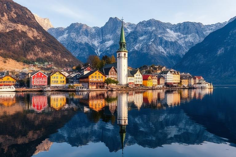
A fairy-tale lakeside village nestled between towering Alps and a mirror-still lake, one of the most photographed places in the world.
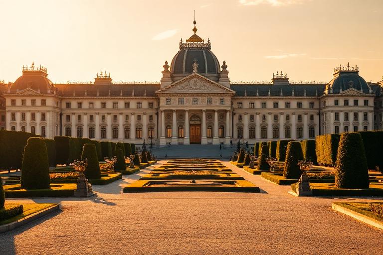
Austria's imperial capital, a UNESCO city of baroque palaces, world-class museums, coffeehouse culture, and classical music heritage.
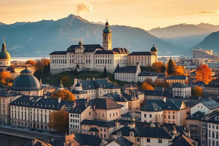
Mozart's birthplace, a baroque jewel of churches, squares, and the mighty Hohensalzburg Fortress set against an Alpine backdrop.
We use cookies for analytics and advertising, including Google AdSense and Google Analytics. You can accept or decline personalised advertising and measurement cookies. Essential cookies needed to display the site are always active. Read our privacy policy.