How to get there
From Stavanger, take the ferry to Tau and a bus or drive to the Preikestolen car park. The trail is 8 km return with 350 m of ascent, on rock steps for most of the way.
 Norway
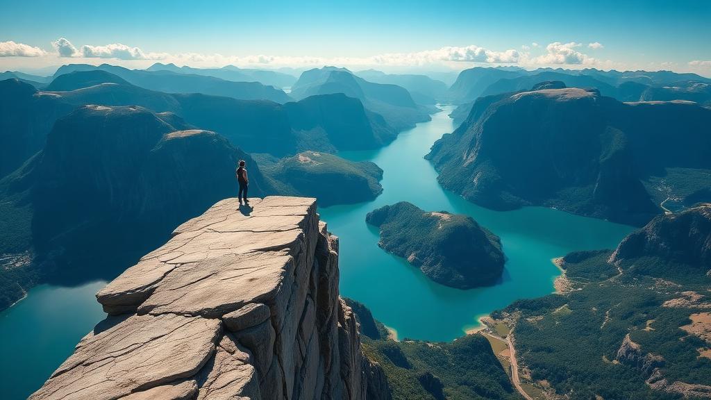
A flat-topped cliff rising 604 metres above the Lysefjord, offering one of the most iconic viewpoints in all of Norway.
Photograph by Anas Morsali, taken during his own trip
Preikestolen (Pulpit Rock) is a massive cliff plateau that rises 604 metres above the Lysefjord in Rogaland county, southwestern Norway. The flat top of the cliff measures approximately 25 by 25 metres and provides a dramatic viewpoint straight down into the turquoise waters of the fjord below. The hike to Preikestolen from the Preikestolen Mountain Lodge takes approximately 4 hours round trip (about 8 km) and traverses varied terrain including boardwalks across bogs, rocky scrambles, and forested paths. The trail has been improved significantly in recent years and is accessible to hikers of moderate fitness. Geologists estimate that the cliff was formed around 10,000 years ago during the last Ice Age, when the edges of a glacier reached the cliff and the water froze in the crevices of the mountain, breaking off large angular blocks. The result is the dramatic flat platform we see today. For the most spectacular experience, start early to avoid crowds and catch the morning light illuminating the fjord walls.
Planning the wider trip? The Norway planning guide covers how to get there, how to move around, where to stay, realistic costs and a day-by-day itinerary that includes Preikestolen (Pulpit Rock).
From Stavanger, take the ferry to Tau and a bus or drive to the Preikestolen car park. The trail is 8 km return with 350 m of ascent, on rock steps for most of the way.
April to October; guided winter hikes need spikes.
4 hours return.
Parking around NOK 250 per car; the shuttle bus from Stavanger around NOK 400 return.
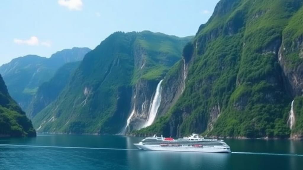
A UNESCO World Heritage fjord renowned for its deep blue waters, dramatic cliffs, and stunning waterfalls like the Seven Sisters.
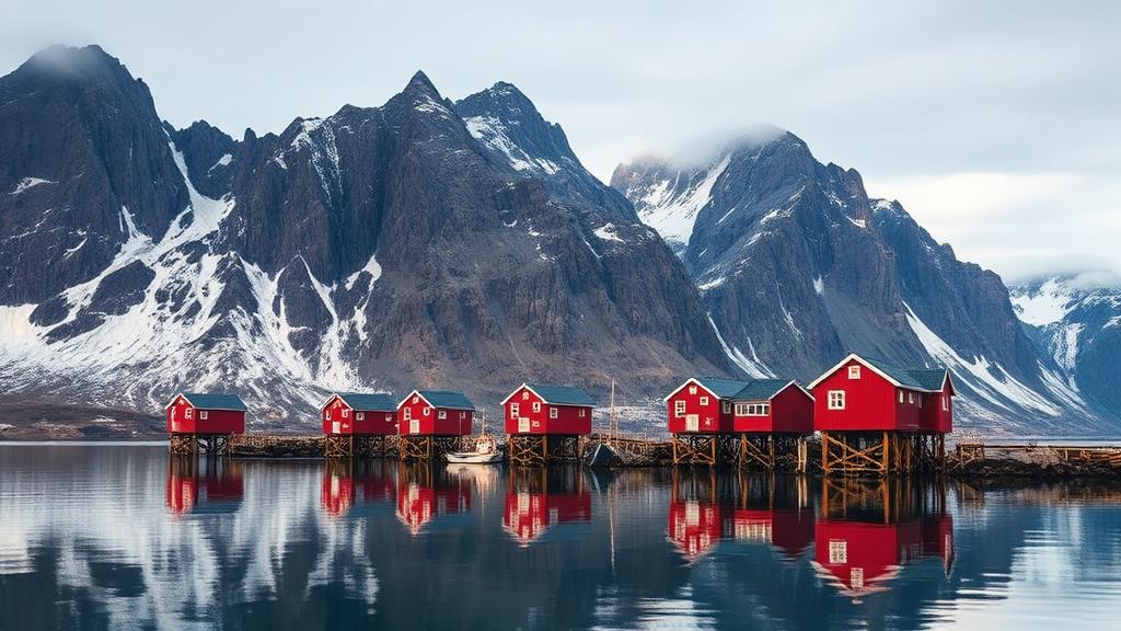
An Arctic archipelago of jagged peaks, white-sand beaches, and traditional red fishing cabins set against the Northern Lights.
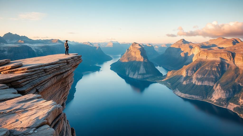
A spectacular rock formation jutting horizontally out of a mountain, hovering 700 metres above Lake Ringedalsvatnet.
We use cookies for analytics and advertising, including Google AdSense and Google Analytics. You can accept or decline personalised advertising and measurement cookies. Essential cookies needed to display the site are always active. Read our privacy policy.