How to get there
A 179 km loop from Killarney on the N70. Drive it anti-clockwise: tour coaches go clockwise and the road is narrow.
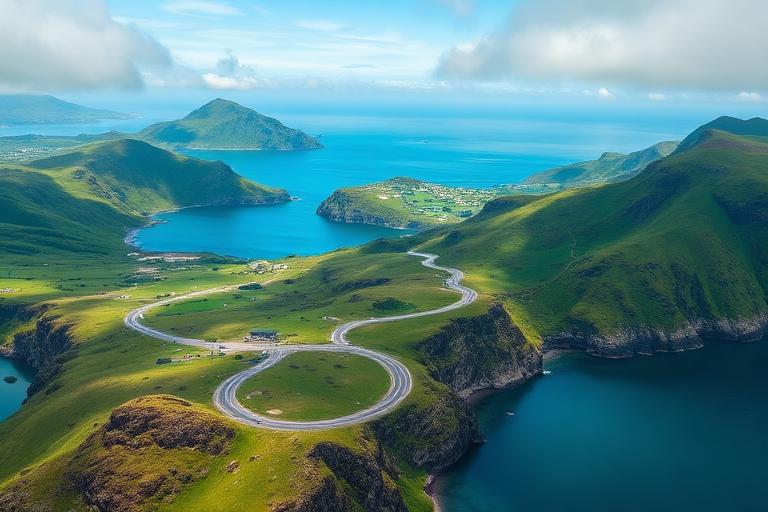 Ireland
A spectacular 179-km scenic drive through Kerry's mountains, lakes, and coastline — one of the most beautiful road trips in Europe.
Photograph by Anas Morsali, taken during his own trip
The Ring of Kerry (Iveragh Peninsula) is a 179-kilometre circular driving route through some of Ireland's most spectacular scenery in County Kerry, widely regarded as one of the finest scenic drives in Europe. The route winds through a breathtaking variety of landscapes — from the lush subtropical gardens of Muckross House on the shores of Killarney's lakes, through the dramatic mountain passes of the MacGillycuddy's Reeks (Ireland's highest mountain range, crowned by Carrauntoohil at 1,039 metres), along vertiginous coastal roads with views of the Skellig Islands, and past ancient stone forts and medieval ruins. The Skellig Ring, a detour off the main route, leads to views of Skellig Michael — the UNESCO World Heritage island monastery made famous as a Star Wars filming location — and the colourful village of Portmagee. Derrynane Beach, with its pristine white sand and crystal-clear waters, rivals any Mediterranean beach. The route passes through charming towns including Kenmare, Sneem, and Waterville, each offering traditional pubs, artisan food, and warm Irish hospitality. For the more adventurous, the Kerry Way walking trail follows a similar route over 214 km through the mountains.
Planning the wider trip? The Ireland planning guide covers how to get there, how to move around, where to stay, realistic costs and a day-by-day itinerary that includes Ring of Kerry.
A 179 km loop from Killarney on the N70. Drive it anti-clockwise: tour coaches go clockwise and the road is narrow.
May, June and September.
One full day, better spread over two.
Free to drive; Skellig Michael boat trips around €120 and must be booked months ahead.
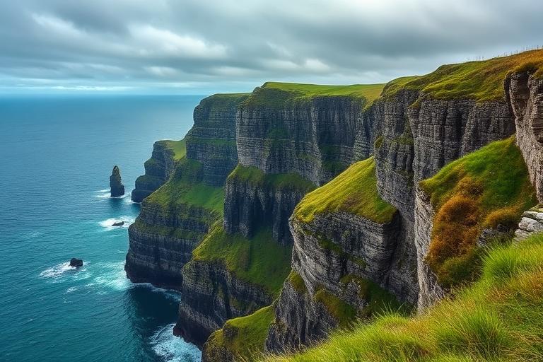
Ireland's most visited natural attraction — towering 214-metre sea cliffs stretching 14 km along the wild Atlantic coast of County Clare.
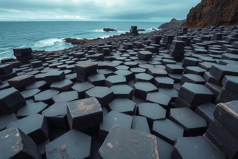
A UNESCO World Heritage Site of 40,000 interlocking hexagonal basalt columns formed by an ancient volcanic eruption.
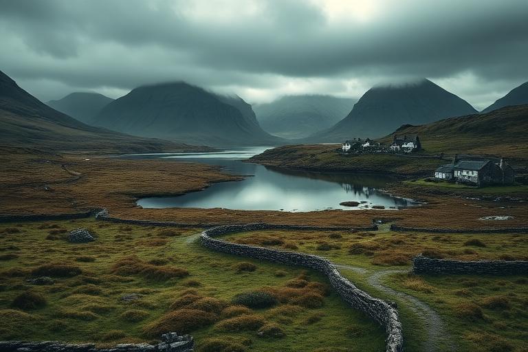
A wild, untamed region of boglands, mountains, lakes, and rugged coastline — the soul of Ireland's Gaeltacht heartland.
We use cookies for analytics and advertising, including Google AdSense and Google Analytics. You can accept or decline personalised advertising and measurement cookies. Essential cookies needed to display the site are always active. Read our privacy policy.